Clark County is just across the Columbia River from Portland, Ore. and Portland International Airport. A drive between the airport and downtown Vancouver takes about 15 minutes. Two freeways, Interstate 5 and Interstate 205, have bridges that link major economic centers in Washington and Oregon.
The Port of Vancouver offers a deep-draft harbor for ocean-going commerce, and transcontinental rail links serve the county.
Here is information to help you get around Clark County:
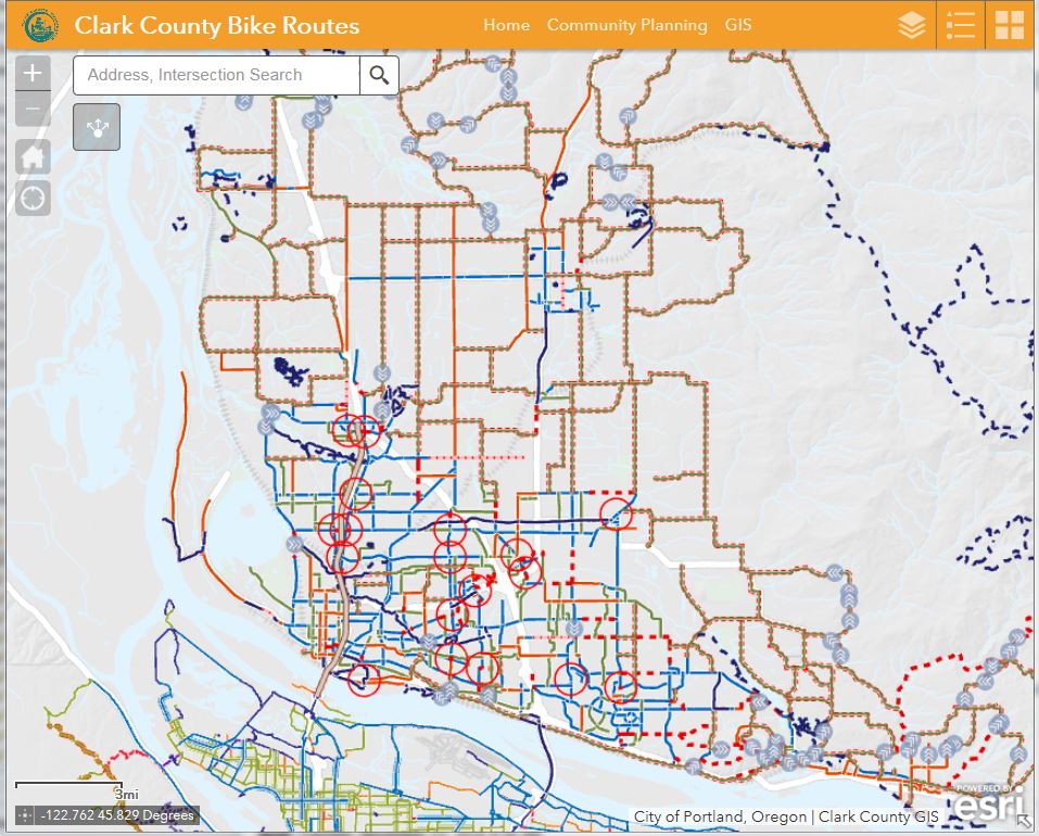
Bike Trails - view app as a full web page
The bike network is seen below in the electronic map.
Bicycling in Washington State
Learn more about the Clark Communities Bicycle and Pedestrian Advisory Committee
Buses
Major streets and highways
- Streets, ways and circles run east and west
- Avenues, places and courts run north and south
- Drives, loops or roads are diagonal or irregular
- Major arterials are named to preserve local or historical meaning and can be designed as boulevards, highways, expressways or parkways. New roads usually have numbers.
- The north-south baseline is First Street and the east-west baseline is Division Street, both in Vancouver. They divide the county into quadrants -- NE, NW, SE and SW -- which come before the street name or number.
- In addresses, even numbers are on the north side of streets and the west side of avenues. The first three digits of an address are the block number, while the last two digits are the house number.
Clark County Road Atlas
For more information about how to get around Clark County, Geographic Information Services (GIS) publishes an updated Road Atlas each year. You can purchase a copy in the GIS store on the second floor of the Public Service Center, 1300 Franklin Street, Vancouver.

